Hiking & Trails
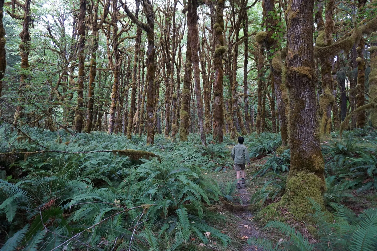
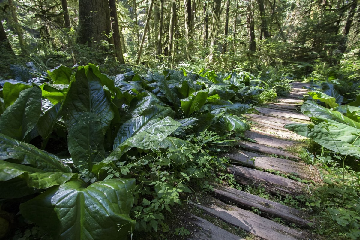
Saint Edward State Park has 14 named trails that wind through forest and ravines from the old seminary lawns down to Lake Washington. The agency map rates each one from "easiest" to "most difficult." Hikers share many trails with mountain bikers, but some are signed hiking only. Washington State Parks doesn't publish trail mileages for the park.
Trails at a Glance
The 14 Named Trails
This list follows the numbers and difficulty symbols on the Washington State Parks map.
- Beach Trail (easiest): runs along the Lake Washington shoreline.
- North Trail (most difficult): in the northwest part of the park, toward the lake.
- Perimeter Trail (easiest): starts near the picnic area west of the seminary.
- Seminary Trail (more difficult): the old logging road from the seminary building down to the lake.
- Grotto Trail (most difficult): continues past the Grotto toward the lake.
- South Canyon Trail (most difficult): a ravine route in the south of the park.
- South Ridge Trail (most difficult): the ridge above the south canyon.
- Orchard Loop (more difficult): a loop south of the seminary grounds.
- Water Tower Trail (more difficult): in the middle of the park, east of the Orchard Loop.
- Plateau Trail (more difficult): on the east side, near the private property line.
- Entrance Trail (easiest): along the entrance road from Juanita Drive NE.
- Volunteer Trail: near the entrance, in the northeast.
- Juanita Trail (more difficult): along Juanita Drive NE on the park's east edge.
- Arrowhead Trail (easiest): in the northeast, north of the entrance road.
The map also shows a network of unnamed trails in the park's southeast corner, east of the private property and along Holmes Point Drive, with many of them marked for bicycles.
Easy Walks
For a gentle outing, stay near the top. The Perimeter, Entrance and Arrowhead trails carry the "easiest" symbol, and the lawns, orchard and Grotto are a short walk from the parking areas. The Beach Trail is also rated easiest, but you have to descend another trail to reach it. See the beach.
Harder Hikes
The trails that drop to the lake through the ravines, the North, Grotto, South Canyon and South Ridge trails, carry the "most difficult" symbol. Expect steep pitches, roots and a long climb back to the car.
Sharing the Trails with Bikes
Mountain biking is popular here. The park brochure calls the trail system a labyrinth and says many trails are open to mountain bikers while others are hiking only, for safety. Watch for signs at trailheads and listen for riders on blind corners. See mountain biking.
Trail Rules
- Hours: 8 a.m. to dusk, all year.
- Dogs: welcome on a leash of 8 feet or less. Clean up after them.
- Not allowed: horses and motorcycles of any kind.
- Stay in the park: private property borders the park, so keep to trails inside the boundary.
- No bottles or cans on trails or beaches, per the park brochure.
What You'll See
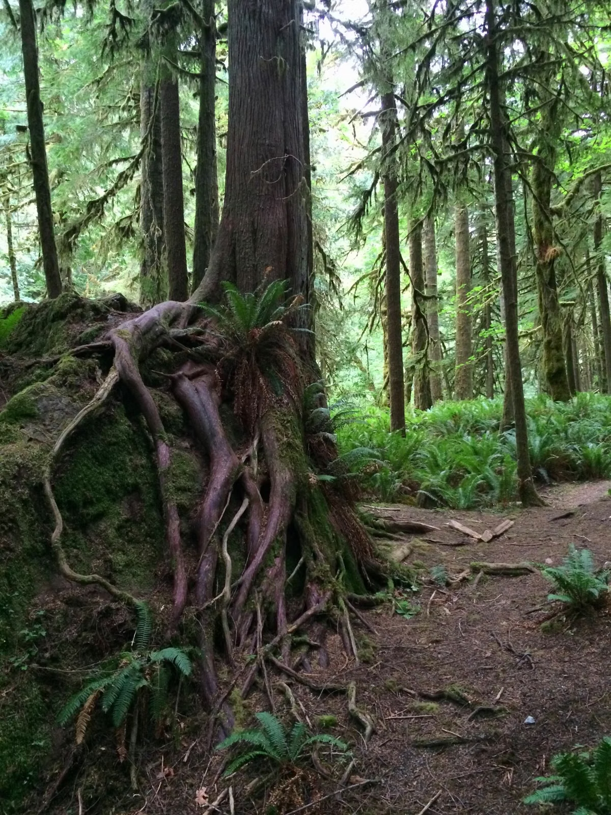
The brochure lists Douglas fir, western hemlock, red alder, bigleaf maple, western red cedar and Pacific madrone, plus many kinds of birds and animals. Washington State Parks also lists bird watching, wildlife viewing, seasonal wildflowers and geocaching here.
Hiking & Trails FAQ
How many trails are at Saint Edward State Park?
The Washington State Parks map names 14 trails, from the easy Beach and Perimeter trails to the steep North, Grotto, South Canyon and South Ridge trails.
What is the easiest trail at Saint Edward State Park?
The agency map rates the Beach, Perimeter, Entrance and Arrowhead trails "easiest." The Beach Trail is reached by walking down another trail first.
How long are the trails at Saint Edward State Park?
Washington State Parks doesn't publish mileages for the park's trails, only names and difficulty ratings on its map.
Is Saint Edward State Park dog friendly?
Yes. Dogs are allowed on the trails on a leash of 8 feet or less, and owners must clean up after them.