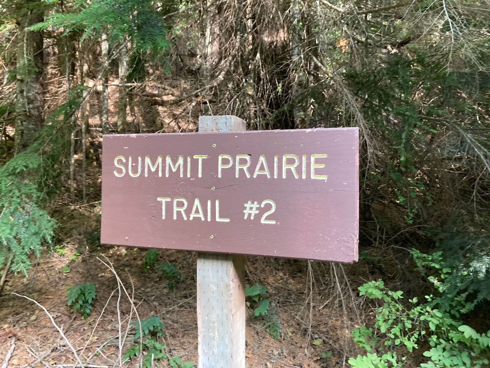
Saint Edward Trail Map
Washington State Parks publishes one official map of Saint Edward State Park, the Saint Edward Overview Map, as a free PDF. It shows the park's 14 numbered trails with difficulty ratings, the trailheads, parking, restrooms, the playground and picnic areas, the Grotto, the old seminary buildings and the Lake Washington shoreline. The current version was revised May 13, 2022.
The Map at a Glance
Download the Official Map
Saint Edward Overview Map (PDF), from Washington State Parks. The park brochure, with a smaller copy of the same map, is also a free PDF.
How to Read the Legend
- Hiking symbol: a trail used by hikers.
- Bicycle symbol: a trail used by bikes.
- Round symbol: easiest.
- Square wave symbol: more difficult.
- Diamond symbol: most difficult.
- T: trailhead. P: parking.
- Dashed brown line: the park boundary. Land outside it, including the large private parcel on the east side, is not open to the public.
What the Map Shows
- Buildings: the Lodge at Saint Edward State Park (the old seminary), the Gymnasium and a building labeled EERC, all in the center of the park.
- Day use: two parking areas by the buildings, picnic areas, restrooms, an information kiosk and the playground.
- The Grotto: southwest of the buildings.
- Water: Lake Washington along the whole west edge.
- Roads: Juanita Drive NE on the east, the park's entrance road, and Holmes Point Drive along the south.
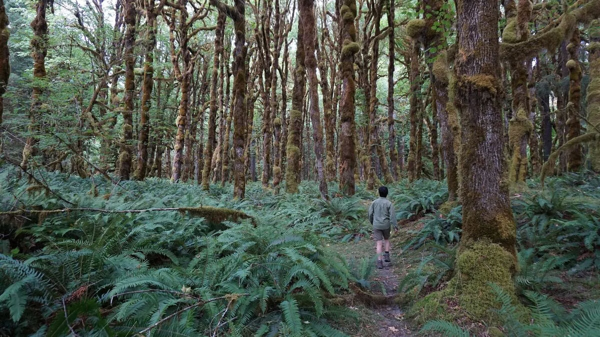
The Numbered Trails
- Beach (easiest)
- North (most difficult)
- Perimeter (easiest)
- Seminary (more difficult)
- Grotto (most difficult)
- South Canyon (most difficult)
- South Ridge (most difficult)
- Orchard Loop (more difficult)
- Water Tower (more difficult)
- Plateau (more difficult)
- Entrance (easiest)
- Volunteer
- Juanita (more difficult)
- Arrowhead (easiest)
Trail descriptions are on the hiking page. The map gives no mileages, and Washington State Parks doesn't publish any for this park.
Finding the Park
The agency lists the park at 47.733289, -122.256337, with the street address 14445 Juanita Drive NE, Kenmore. See parking and directions.
Saint Edward Trail Map FAQ
Is there a map of Saint Edward State Park?
Yes. Washington State Parks publishes the Saint Edward Overview Map as a free PDF, revised May 13, 2022, with all 14 numbered trails.
Does the Saint Edward map show which trails allow bikes?
The map uses a bicycle symbol for bike trails and a hiker symbol for hiking trails. Check trailhead signs too, since some trails are hiking only.
Does the Saint Edward map show trail distances?
No. It has a scale bar to 5,000 feet but no mileages for individual trails.